
Business 225
Porsche rules out electric supercar citing lack of demand
In this issue
Business 225
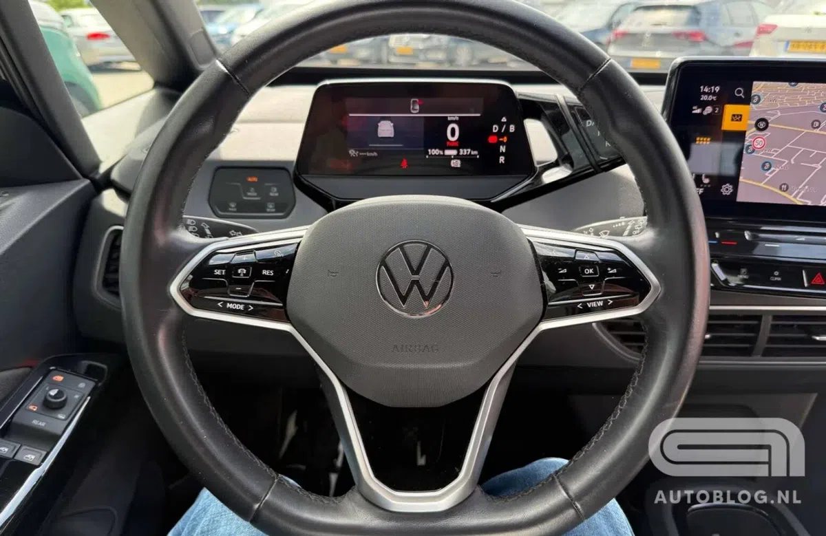
Porsche rules out electric supercar citing lack of demand
Culture 267
Kaege Retro's Backdated 1997 Porsche 911 Turbo Heads to Auction
Economy 40
US Petrol Prices Set Record for Longest Stretch Above $4 a Gallon
News 153
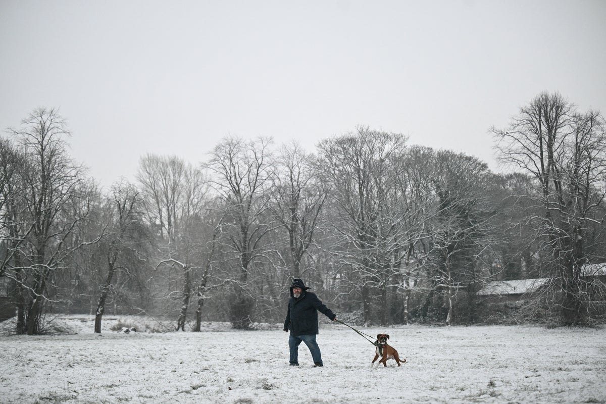
Forecasters Issue Winter Snow Verdict for the UK
Politics 115
Burnham launches crackdown on loud music on public transport
Sports 279
Leeds United to Host Manchester United in Premier League Clash
Technology 315
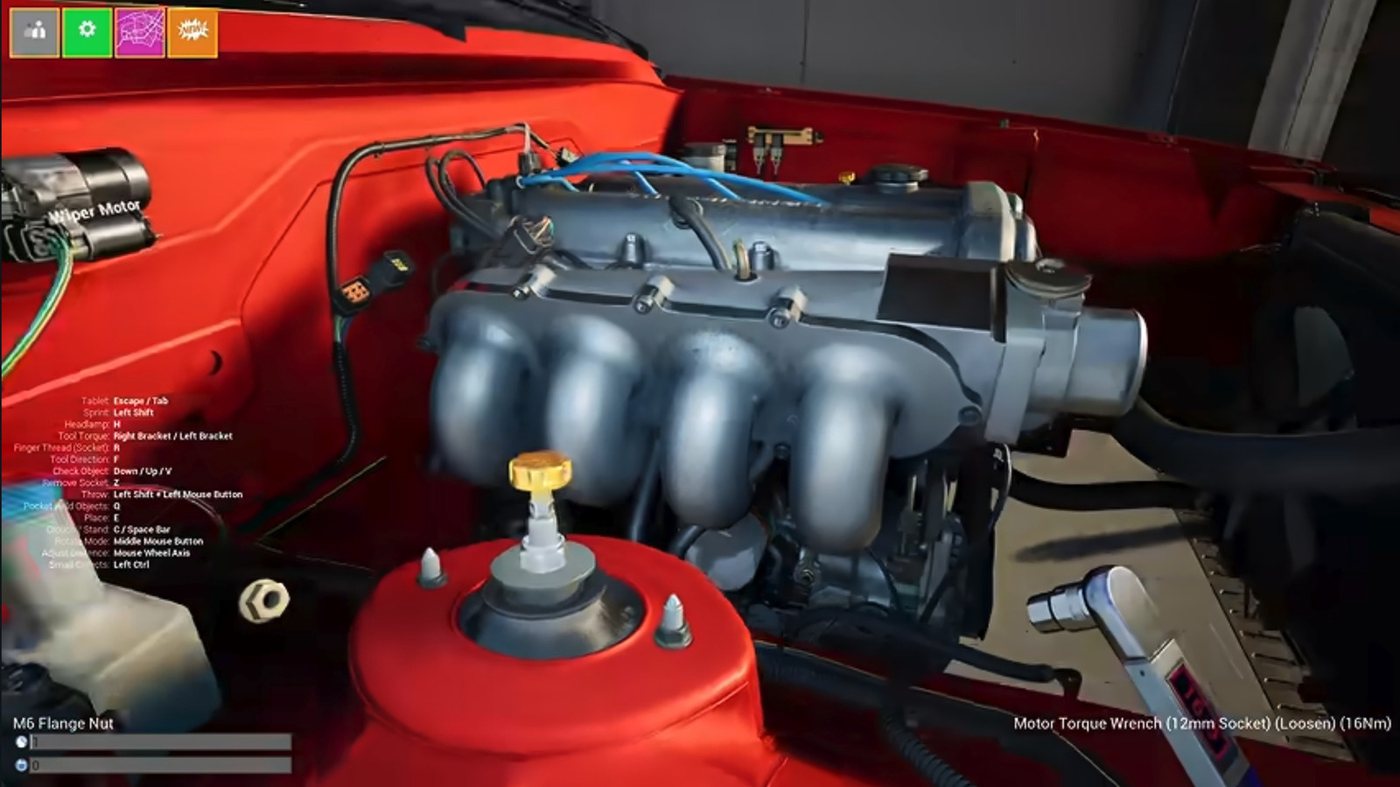
Wrench Game Offers Visual Route Into Car Mechanics
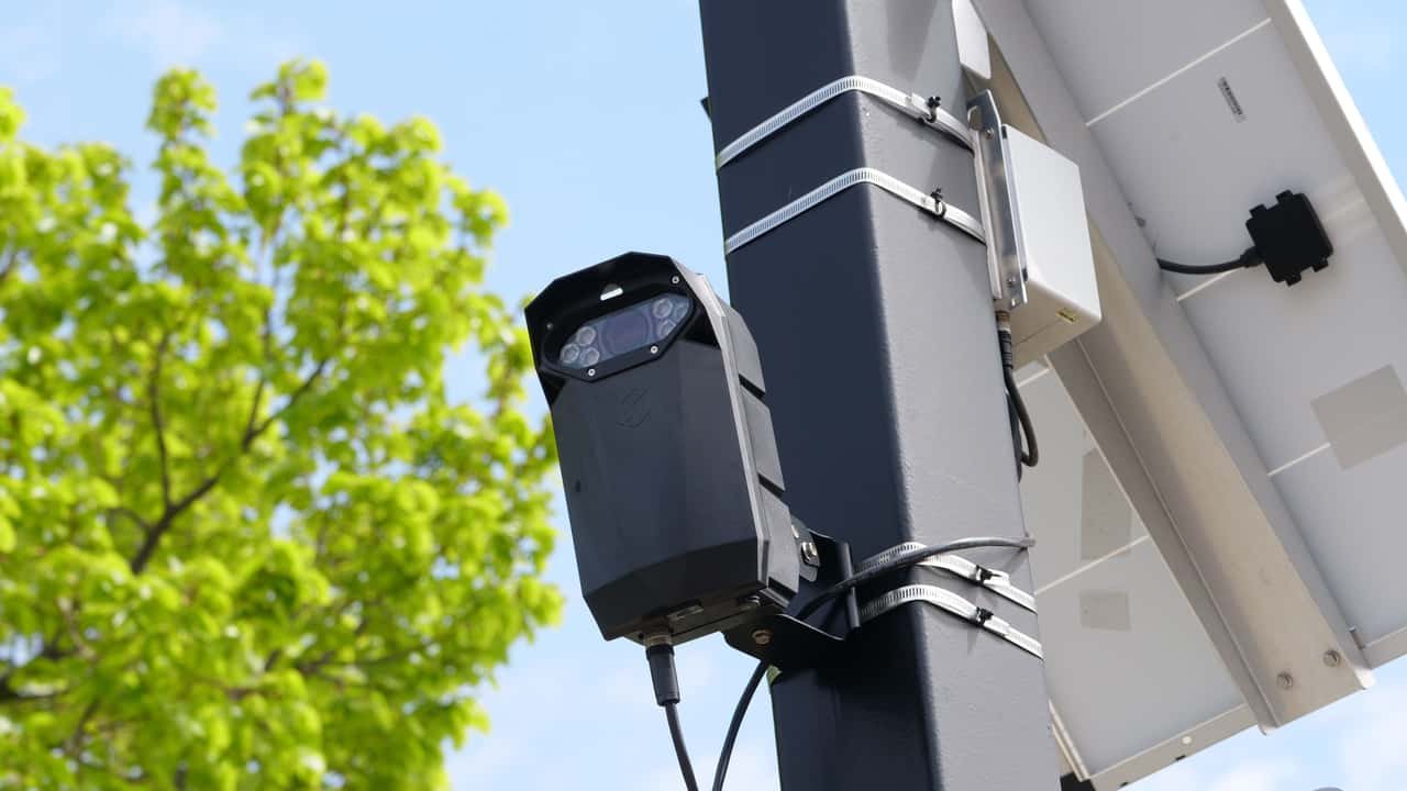
MapQuest has introduced a toggleable Surveillance Layer that displays crowdsourced locations of automatic number-plate readers, including Flock Safety cameras, giving drivers a view of reported roadside monitoring in their area.
By Eleanor Ellington · 4 min read
MapQuest has added a Surveillance Layer to its mapping service that lets users see the reported locations of automatic number-plate readers, including cameras operated by Flock Safety. The feature is switched on or off at the user's discretion and draws on crowdsourced data to build a picture of roadside monitoring across neighbourhoods.
The layer is designed as a snapshot of where plate-reading equipment has been reported rather than a live feed of active surveillance. Drivers can toggle it within the MapQuest interface to check whether cameras have been logged along a route or near their home, turning a navigation tool into a way of visualising the spread of a technology that has become commonplace on British and American roads.
Flock Safety is among the best-known suppliers of the cameras, which photograph passing vehicles and read their number plates so that journeys can be matched against watchlists or police enquiries. The company's devices are typically mounted on poles at the roadside and are used by police forces, local authorities and private organisations. Their growth has prompted debate about how much of everyday movement is recorded and who can access the resulting data.
By surfacing those locations on a public map, MapQuest is responding to demand from motorists who want to know when they are passing through an area covered by plate-recognition equipment. The approach mirrors the way mapping services already display speed cameras and other roadside infrastructure, though the crowdsourced nature of the data means the picture depends on users reporting what they see.
The addition also reflects a wider shift in how drivers use navigation apps. Once limited to directions and traffic conditions, such services increasingly carry layers of information about the environment a motorist is moving through, from charging points to congestion zones. Surveillance is the latest category to be mapped, and it places a consumer-facing tool alongside a technology more usually discussed in the context of policing and civil liberties.
For Flock Safety, the visibility is double-edged. The company has expanded rapidly by selling cameras as a way to solve crime and recover stolen vehicles, but public mapping of its equipment makes the scale of deployment easier to see and to question. Campaigners who have raised concerns about plate-reader networks are likely to treat the layer as a useful resource, while privacy advocates may argue that the existence of such a map underlines how routine roadside monitoring has become.
MapQuest has not presented the layer as a definitive register. Because the locations are crowdsourced, coverage will vary between areas and will depend on users keeping the information up to date. Motorists should therefore treat the map as an indication of reported monitoring rather than a guarantee that a road is free of cameras, or that every camera shown is still in operation.
The feature arrives as plate-recognition technology spreads beyond major roads into residential streets and suburban junctions. For readers who value knowing the texture of the places they live and travel through, a map that shows where monitoring equipment sits is a small but telling addition to the tools of modern life — one that turns an abstract policy debate into something visible on the screen in front of them.
3